
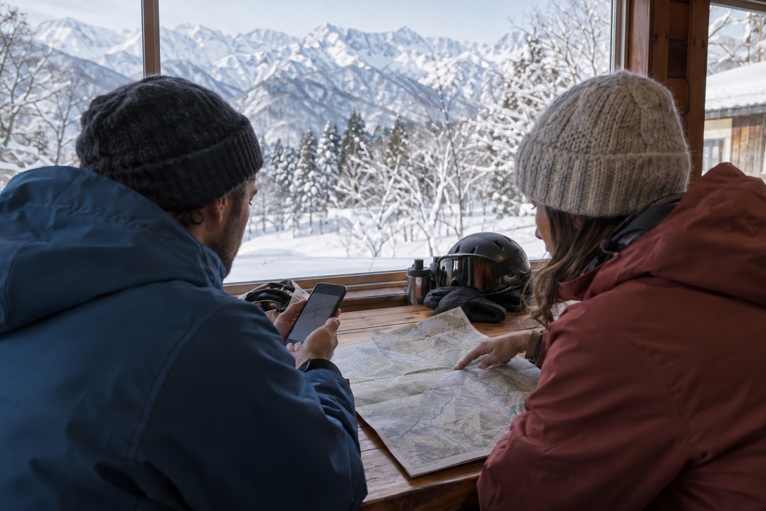
Before skiing or snowboarding outside controlled resort terrain in Japan, check current regional avalanche information, the weather, and local access notices. Then consider what they mean for your route and your group's skills. A weather app or an open gate cannot answer all of those questions.
POINT
- Find the current report for the area and read its limits.
- Check weather changes and local access notices.
- Consider the full route and the terrain above it.
- Agree when to turn back or change plans.
Find the right avalanche information for your area
Start with the Japan Avalanche Network (JAN) bulletin list. Its English area menu includes Hakuba, Myoko, Kagura Tanigawa Hotaka, Central Hokkaido, SW Hokkaido, and Tateyama. These are regional services: check the coverage map and the latest entry for your destination.
Check the issue date, time, and any season-end notice. An old report or a blank rating is not evidence of low danger. For example, JAN's 6 April 2026 Hakuba entry announces the end of its 2025/26 information service. That entry is a historical example, not today's conditions.
For Niseko, also check Niseko Avalanche Information and the current resort notices. This local service is distinct from JAN. Niseko United identifies it as the area's official information under the Niseko Rules.
If you cannot find a current report covering your route, do not treat weather data as a replacement.
Warning
If you cannot assess avalanche terrain and current conditions, stay on open, controlled resort runs or postpone the backcountry trip.
A missing or out-of-date report leaves your group without one important input for judging exposure. It is not evidence that the snow is stable. Ask a qualified local guide about the information gap before changing that conservative plan.
Read beyond the danger colour
JAN describes its information as an assessment of conditions at the time of issue, rather than a forecast for the coming days. Conditions can change after publication. Its guide to using avalanche information explains the ratings, avalanche problems, and limits.
- Elevation: read the separate ratings for alpine terrain (ALP), treeline (TL), and below treeline (BTL). Use the area's own definitions.
- Avalanche problem: identify the type of avalanche described and where it may occur.
- Aspect: check which compass directions the affected slopes face.
- Likelihood and size: read how easily an avalanche may be triggered and how large it could be.
- Advice and confidence: read the recommended terrain choices and any limits in the available information.
The JAN bulletin overview explains that the rating is only part of assessing risk. You still need terrain knowledge and appropriate decisions. Do not treat a lower rating as approval for every slope.
Check weather changes and local access notices
Use weather data as supporting information
The Japan Meteorological Agency (JMA) links to snow analysis and forecasts, observations, and weather warnings and advisories. Look at recent snowfall, wind, rain, temperature changes, and the forecast for the time you expect to be out.
JMA lists avalanche under its advisory categories. An avalanche advisory is different from a regional avalanche bulletin. Neither the absence of an advisory nor a snowfall total confirms that your chosen slope is safe.
Recent storms matter, but older buried weaknesses can remain a problem. Avoid treating the last two or three days as a complete snowpack history.
Check the rules at your actual resort
Read the resort's current notices, boundary signs, and patrol instructions. Ask patrol about closures or access wording you do not understand before leaving the controlled area.
For example, the Niseko Rules require use of designated gates, prohibit crossing boundary ropes, and prohibit backcountry access when gates are closed. These are Niseko-specific rules; check the rules at other destinations separately.
An open backcountry gate does not mean that every slope beyond it has been made safe. Access permission and avalanche risk are separate checks.
Check the whole route, including the slopes above you
Consider the uphill route, descent, return, and places where the group might stop. What lies above each section? Where could avalanche debris travel?
A gentle slope can still be exposed to an avalanche from steeper terrain above it. The National Avalanche Center's explanation of overhead hazard includes avalanches released naturally, triggered by another group, or triggered from a distance. Poor visibility can hide those slopes.
Also identify terrain traps: features that can make an avalanche more harmful. Gullies and creek beds can collect debris; cliffs, rocks, and trees can increase injury risk.
Choosing a lower-angle route helps only when you also account for connected avalanche terrain and debris paths. If you cannot identify that exposure, do not use a gentle-looking slope as your fallback. Stay on open, controlled resort runs.
Reassess when conditions change
The National Avalanche Center lists these warning signs:
- Recent avalanches.
- Cracks spreading through the snow, collapsing snow, or a hollow "whumpf" sound.
- Heavy snowfall or rain.
- Wind moving snow into drifts.
- Rapid melting or sustained warmth.
New snow, wind, rain, and warming can increase instability. Some buried weak layers can remain dangerous for weeks after a storm. The absence of obvious warning signs does not prove stability.
If you see warning signs or conditions are worse than expected, stop committing to more exposed terrain. Discuss a retreat or alternative that avoids avalanche paths and slopes above you. Do not enter a suspect slope to test it.
JAN's Seven Steps to avalanche safety combines planning, training, equipment, and ongoing observation. Carry an avalanche transceiver, probe, and shovel for backcountry travel, and practise their use with your partners. Reading this guide or carrying equipment does not replace avalanche training.
Questions visitors often ask
Can I use a report from a nearby area?
Use the report's coverage map. A similar place name or short distance does not establish that your route is covered. If it falls outside the stated area, treat the route as lacking that assessment.
What if the latest report is from last season?
It can help you learn the format, but it cannot describe today's snow. Check for a season-end notice and whether current reporting has resumed. If essential information is missing, change your plan.
Does a low danger rating mean I can skip avalanche equipment?
No. A lower rating is not a guarantee for your route. Keep the appropriate equipment, training, and group preparation for backcountry travel, and follow local requirements.
Before your next ski day
Save the relevant avalanche-information and resort pages before your trip. On the day, check their dates and scope, then agree with your group on the plan and the conditions that would make you change it.
If you need help judging the terrain or interpreting local information, read when to consider a backcountry guide in Japan.