
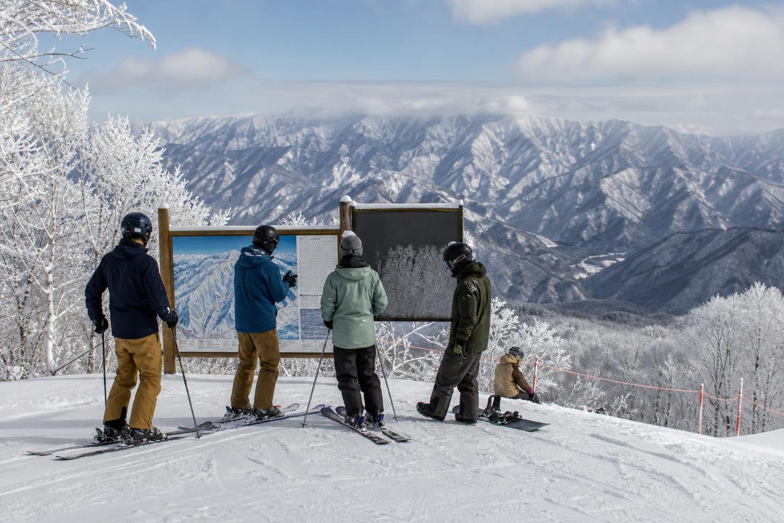
A sign at a Japanese ski resort might point to an open course, warn of a hazard, close a run, or mark the edge of the resort’s managed area. A rope or gate can also mean different things at different mountains. Read it with the resort’s current map and notices, rather than guessing from its color or from tracks in the snow.
Start with the resort map
Before your first run, find the map legend, your course name, nearby lift names, and the arrows at junctions. A color usually describes difficulty within that resort’s map. For example, the Hakuba Goryu and Hakuba47 trail map uses green, red, and black for different course levels. Check the legend where you are skiing; colors alone do not tell you whether an area is open.
Look again at the lift entrance or course junction. A current board or staff instruction may give more recent information than a printed map.
Japanese words worth recognizing
These are examples, not a nationwide sign code. An English translation may not appear on every sign or temporary notice, even at resorts with English information. Shiga Kogen’s English sign guide and its Japanese guide show several matching terms:
- 立入禁止 (tachiiri kinshi): do not enter. This is an entry restriction, not a difficulty rating.
- 危険・注意 (kiken / chūi): danger or warning. Slow down and identify the specific hazard.
- 徐行 (jokō): go slowly.
The Japan Tourism Agency also gives ここから先は滑走禁止 as an example meaning “No skiing beyond this point.” It is an example pictogram and wording, not wording that every resort uses. Read the whole notice, including any date, course name, or exception.
Tell a closed run, a boundary, and a gate apart
Closed run or prohibited area
A closed course is a run the resort has closed. A prohibited area is an area the resort tells visitors not to enter. They are not the same as a difficult open run. GETO KOGEN’s trail information says its prohibited skiing areas are closed at all times, while entry to closed courses is also prohibited. It warns that some prohibited areas may have no visible rope or sign. Use its map and current notices, not a missing barrier, to judge where you may ride.
Resort boundary
A boundary marks where the resort’s managed ski area ends. It does not mean an open advanced run continues beyond it. At Hakuba47, yellow-and-black topped poles mark the ski-area boundary, while yellow-topped poles mark closed areas inside the resort. Those colors describe Hakuba Valley’s local system; check the markings at the resort you visit.
Official access gate
A designated gate is an access point under a resort’s own rules, not a sign that the terrain beyond is a normal patrolled course. The Niseko Rules, for example, require riders entering backcountry areas to use gates, forbid ducking boundary ropes, and prohibit backcountry access when gates are closed. A gate’s status can change. Check that resort’s current gate information and patrol instructions before considering access.
What to do when a sign is unclear
- Stop at a visible place at the side of the course, away from a narrow section or junction.
- Compare the sign with the resort’s current map, course or lift status, and nearby notices.
- Ask staff or patrol to explain an unclear rope or gate. Where backcountry access is permitted, use the resort’s open, designated gate. Do not cross a closure rope or enter a closed or prohibited area.
Tracks beyond a barrier do not prove that an area is open. Hakuba47 notes that some tracks in prohibited areas come from patrol safety checks. A temporary board or patrol direction may also change access during the day. Follow the current local instruction.
For the wider distinction between off-piste terrain, resort boundaries, and prohibited areas, read our guide to Japan’s ski resort rules.